Photo via Fast Company
In a race against climate change, explorer and scientist Klaus Thymann recently deployed advanced 3D modeling technology to document some of Earth's last tropical glaciers before they disappear entirely. Located near the summit of Puncak Jaya in Indonesia's remote Central Papua Province, these rare ice formations are melting at an alarming rate. According to Thymann's assessment, the remaining glaciers could be completely gone within the next decade, representing a significant loss of both environmental and cultural heritage.
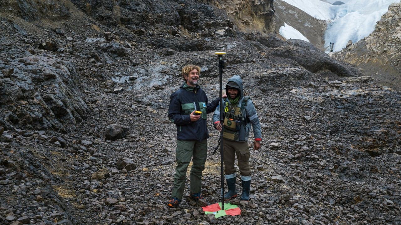
The scale of ice loss in the region is staggering. Between 1980 and 2024, the glaciers shed 97% of their ice coverage, shrinking from an area roughly twice the size of Central Park to a footprint smaller than Grand Central Station. Four of the original six glaciers have already vanished completely. Thymann's expedition to document this environmental shift required extraordinary measures, including days of waiting for helicopter access and coordination with armed guides through a region marked by civil unrest and security concerns.
To capture precise 3D data despite challenging conditions—the area experiences rain 300 days annually, making satellite imaging unreliable—Thymann employed drone photography combined with geolocation technology from Trimble. This approach enabled centimeter-level mapping accuracy that will allow scientists to track ecosystem changes as the ice disappears. The resulting open-source data represents a valuable resource for climate researchers worldwide studying rapid glacier loss driven by global temperature increases.
Beyond scientific value, Thymann's work with his nonprofit Project Pressure preserves cultural memory. Local indigenous communities refer to these glaciers as the 'eternity' glaciers, and their imminent extinction marks a profound loss. By creating detailed visual documentation, the project ensures that future generations will have a tangible record of what these sacred ice formations looked like, even after they've vanished from the landscape.