Photo via WCNC Charlotte
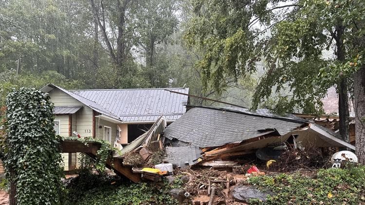
North Carolina legislators are moving to close critical safety gaps in the state's mountainous regions by dedicating $1 million toward comprehensive landslide risk mapping. According to WCNC Charlotte, the funding proposal comes directly in response to the devastating landslides triggered by Hurricane Helene in 2024, which claimed lives and destroyed infrastructure across western counties.
The initiative addresses a longstanding vulnerability in how the state identifies and monitors areas prone to landslide activity. By developing detailed maps of high-risk zones, state officials hope to better inform land-use decisions, emergency preparedness efforts, and property development planning in the western mountain communities most vulnerable to these natural hazards.
For Charlotte-area businesses and developers with investments or operations in the foothills and mountain regions, improved landslide mapping could influence insurance costs, project timelines, and regulatory requirements. The funding signals state commitment to resilience planning in western NC—a region increasingly important to the broader regional economy.